


Operational asset layers
Structure facilities, equipment, monitoring points and defined operational areas as separate layers. Use stable asset identifiers so a map selection opens the correct source record and related measurements.

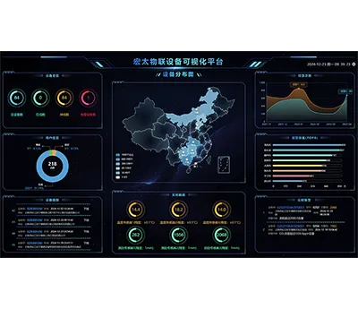
Give distributed assets and monitoring events a shared geographic context. Hitelecom scopes custom GIS dashboards around your site register, location sources and operating workflow: find the relevant point, inspect its uploaded data, review its event history and pass the record to the responsible team. An agreed Hitelecom Cloud or customer-platform integration can provide online monitoring data and configured threshold notifications. Map functions, data sources and access are defined for each project.
Engineering focus
A useful operational map connects geographic position with trustworthy records and a clear next action. Define the layers and interactions around the team using the map, from a control-room overview to a mobile site visit.
Structure facilities, equipment, monitoring points and defined operational areas as separate layers. Use stable asset identifiers so a map selection opens the correct source record and related measurements.
Document coordinate reference systems, location sources, update timestamps and available quality indicators. Keep surveyed positions, estimated positions and last-reported mobile locations distinguishable.
Select a point to view available measurements, units, timestamps and historical records. Connect Hitelecom Cloud or an agreed customer source through documented identifiers and authorized interfaces.
Scope asset search, status filters, layer controls and agreed geographic summaries. Define how filtering changes map symbols, lists and counts so users see the same record set across the dashboard.
Place received threshold alarms and other agreed events at their mapped asset or location. Distinguish active, acknowledged and historical events according to the source workflow and user role.
Where suitable location records exist, scope track views, zone entry/exit or proximity checks. Define location uncertainty, boundary behavior and event timing; these functions do not improve the underlying positioning accuracy.
Tailor map selection, detail panels and record handoff to desktop or mobile use. A mobile view can prioritize site information and inspection links rather than reproducing every control-room panel.
Specify the map service, tile/data rights, hosting arrangement, authentication and permission boundaries. Agree API usage, data retention, source-code delivery and third-party costs before implementation.
Project planning
Map appearance, data interpretation and operating responsibilities should be specified together.
List the areas, assets and users the map must support. Review coordinates, boundary data and location quality before choosing the base map and operational layers.
Review sample data for asset identity, measurements, timestamps, quality, event status and history. Specify missing, duplicate, delayed and out-of-order record handling.
Choose representative sites, events, permissions and mobile tasks. Agree how map, lists, counts and record handoff should behave with that dataset and target devices.
Applications
Twelve application areas show how site locations, monitoring records and operating workflows can be combined. Each task includes its data inputs, proposed output and acceptance check; source quality and map rights determine the implementation scope.
12 application areas / 36 project tasks
Illustrative environments, not evidence of customer installations. Project suitability is assessed against the agreed requirements.
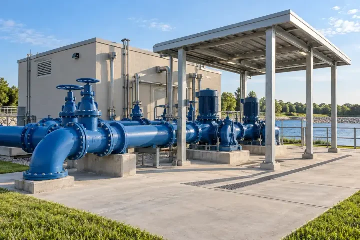
Give distributed water-service assets a consistent geographic reference without confusing map connectivity with a validated hydraulic model.
Review uploaded pressure readings by the mapped monitoring points and the distribution areas defined by the operator.
Locate the pumping station associated with a received event and open its available condition records.
Pass a selected valve, meter or monitored facility reference to the agreed field inspection workflow.
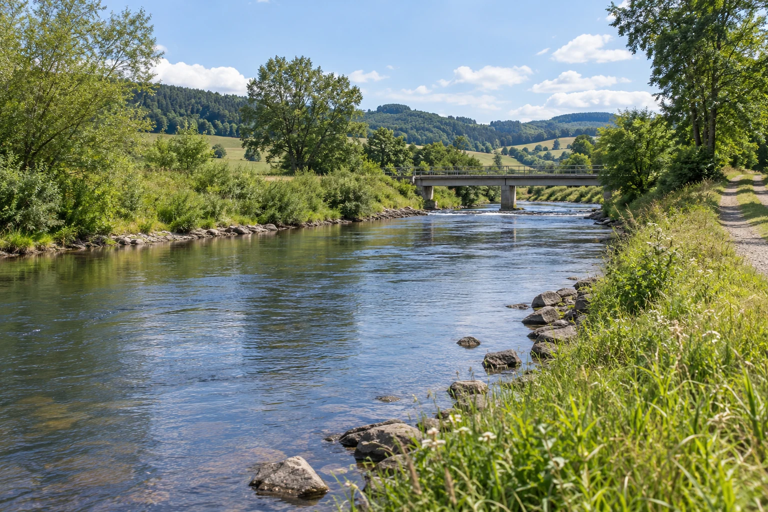
Organise drainage assets and environmental observations within the geographic areas used by the responsible operating team.
Locate received level or water-leak events around drainage structures and monitored low points.
Compare available rain and water-level records across the stations assigned to a catchment area.
Display inspection dates and unresolved source records for the drainage assets in a selected area.

Navigate a regional portfolio while preserving the connection between each site, asset register and received operating information.
Filter renewable-energy sites by received event status, monitoring availability or the owner’s operating region.
Locate monitored towers, inverter stations or supporting equipment and open the available condition records.
Group selected service records geographically for review by the responsible regional team.

Put remote site identity, location and available monitoring data in one geographic investigation path.
Find the site associated with a tilt, environmental or enclosure event and review its source readings.
Distinguish sites with current uploads from those whose reported data is delayed or unavailable.
Provide authorized visitors with a selected site reference, access notes and the agreed inspection link.
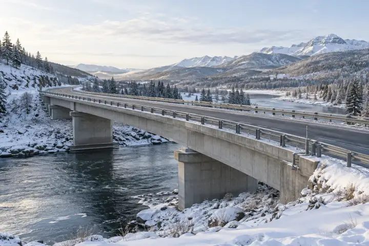
Use corridor references and monitored locations together so teams can find the source point behind a received observation.
Find a monitored point using its asset identifier, chainage or approved geographic position.
Display received movement, vibration or environmental events at their mapped structure or technical facility.
Review source inspection records by corridor section and link users to the selected finding.
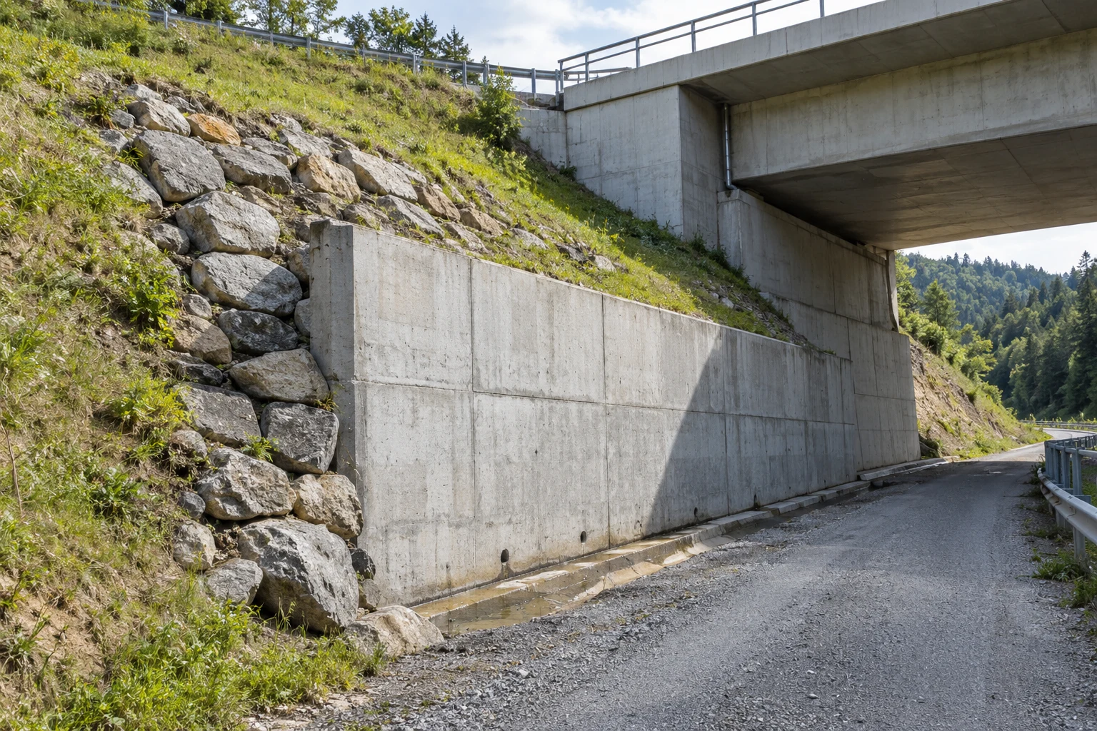
Keep measurement points and work-area boundaries aligned as a construction site or monitoring plan changes.
Group tilt, vibration or environmental points by the work zones defined for the project.
Locate monitoring points and their reference documents along a defined slope or embankment project.
Track the geographic effect of added, moved or retired monitoring points in an agreed plan revision.

Relate receiving locations, operational zones and reported asset positions using the identity and timing of each source record.
Find a container, trailer or reusable asset using its last available reported position and identity.
Scope area events for mobile assets where the available positioning data supports the required zone rules.
Review recorded asset visits or agreed dwell calculations within selected yards or terminal areas.

Show where received condition records were associated with a shipment, vehicle or handling location.
Review uploaded temperature records alongside the available shipment identity and location history.
Locate the reported handling point associated with a shipment condition exception or source event.
Display received route positions and selected stops for an agreed investigation period.

Organise field observations by the parcels, irrigation zones and managed facilities relevant to the farm operator.
Review available soil or local weather records against their assigned field parcels.
Locate monitored irrigation tanks, pumps or control equipment and open the available operating records.
Review observations or service references by growing area and the selected operating period.
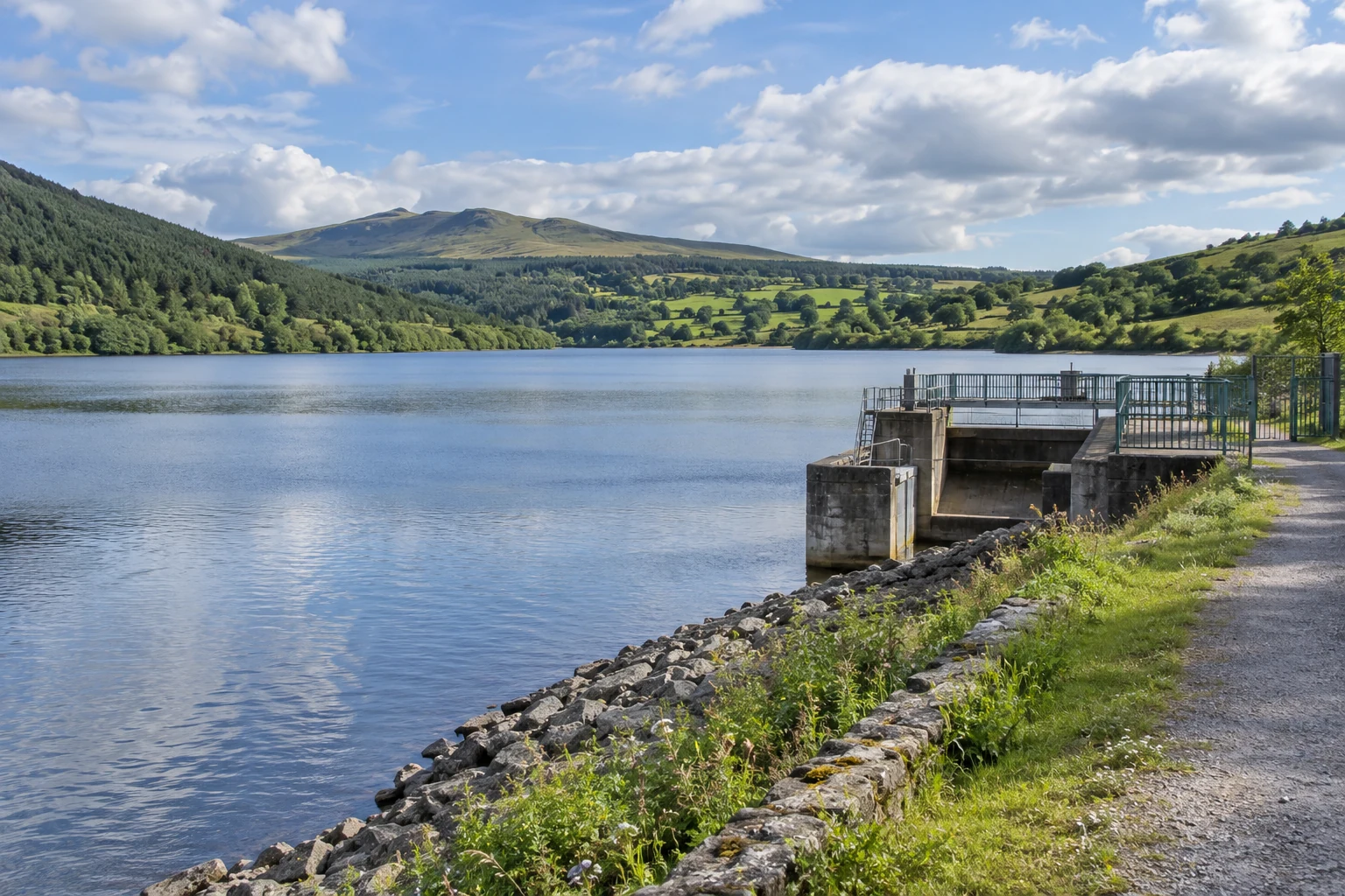
Connect sampling locations and station records with traceable map layers and measurement definitions.
Locate observation stations and inspect the uploaded measurements available at each point.
Associate sample or monitoring records with the relevant river, reservoir or discharge location.
Review received threshold events within an agreed environmental management area and time window.

Give facility teams a shared view of where monitored buildings, equipment and service records belong.
Filter monitored buildings by use, operator region or received environmental event state.
Locate monitored lighting poles, water-service points or other outdoor assets using the approved register.
Provide a mobile user with the selected facility’s approved details and inspection handoff.

Locate monitored public environments and maintenance assets while controlling access to sensitive facility information.
Find the building or external point associated with a received environmental or movement observation.
Review the locations and received records of monitored poles, equipment or environmental stations across a park.
Link reported service issues to the relevant visitor area and approved maintenance workflow.
Scope & specifications
Define these items in the project statement of work; this service has no universal fixed specification.
| Service type | Custom geographic dashboard and agreed data integration |
|---|---|
| Coverage and reference | Geographic coverage, coordinate systems and location sources |
| Base maps and layers | Selected provider, permitted usage, attribution and licence costs |
| Source data | Agreed APIs, file inputs, identities, units and timestamps |
| Functions | Views, filters, search and event workflows expressly included in scope |
| User access | Authentication, roles and data permissions agreed per deployment |
| Hosting and operation | Deployment environment, map access and operating responsibilities |
| Verification | Representative locations, records and documented acceptance scenarios |
| Deliverables and rights | Build, documentation and source-code terms as contracted |
| Maintenance | Map-provider changes, data updates and support terms agreed separately |
Integration & handover
Confirm how the dashboard will be delivered and maintained.
Inspect sample coordinates, layers and API records before confirming map functions.
Implement the agreed map interactions and test records, permissions and missing-data behaviour.
Handover the contracted application and mapping configuration, including licence and maintenance responsibilities.
FAQ
Resolve the technical scope, interfaces and acceptance conditions before committing to a deployment.
A GIS dashboard makes geographic location and operational layers part of the investigation workflow. It connects selected assets or areas with measurements, events and source records; the map, lists and summaries should follow the same data selection.
They can be scoped as separate layers with their own location sources and timestamp rules. A surveyed sensor position and a last-reported mobile location should remain distinguishable to the user.
No. Accuracy comes from the positioning, survey or other location source. The project defines coordinate transformations and how available quality indicators, uncertainty and stale records are represented.
They can be reviewed for supported interfaces, coverage, coordinate reference systems, access control and usage rights. Map tiles, commercial services and third-party datasets retain their licence and commercial conditions.
An agreed integration can provide uploaded monitoring data and configured threshold events from Hitelecom Cloud. Asset identity, point coordinates, channel definitions, units and timestamps are mapped to the dashboard’s layers.
Where authorized history is available, a project can scope time-filtered tracks and linked measurements. Retention, clock alignment, missing records and any interpolation or aggregation rules are defined before implementation.
They are project options rather than universal inclusions. Suitable position data, licensed boundaries, uncertainty handling, entry/exit rules and calculation semantics must support the intended use.
Events may be received from an existing monitoring platform or generated by an expressly scoped rules service. The project identifies threshold ownership, event status, notification recipients and any acknowledgement or downstream handoff.
Mobile layouts are designed around the selected field tasks and target devices. Offline maps or cached records require a separate decision on licensing, storage, data freshness, synchronization and access security.
Access can be scoped by organization, region, site or role. Test the permitted map layers, detail records, exports and source-system links with representative user accounts before acceptance.
Share the coverage area, asset register, sample coordinates, source API or record samples, map preference, user roles and desired workflows. Include expected dataset sizes, retention, target devices and the proposed deployment environment.
The contract defines the application build, configuration, layer schema, interface mapping, acceptance records and deployment instructions to be delivered. Source-code rights, map licences, third-party costs and support responsibilities are agreed explicitly.
Discuss your project
Share the sites, geographic layers and records you want to bring together. Include map preferences and sample data so the project scope can be assessed.
sales@hitelecom.cn ↗