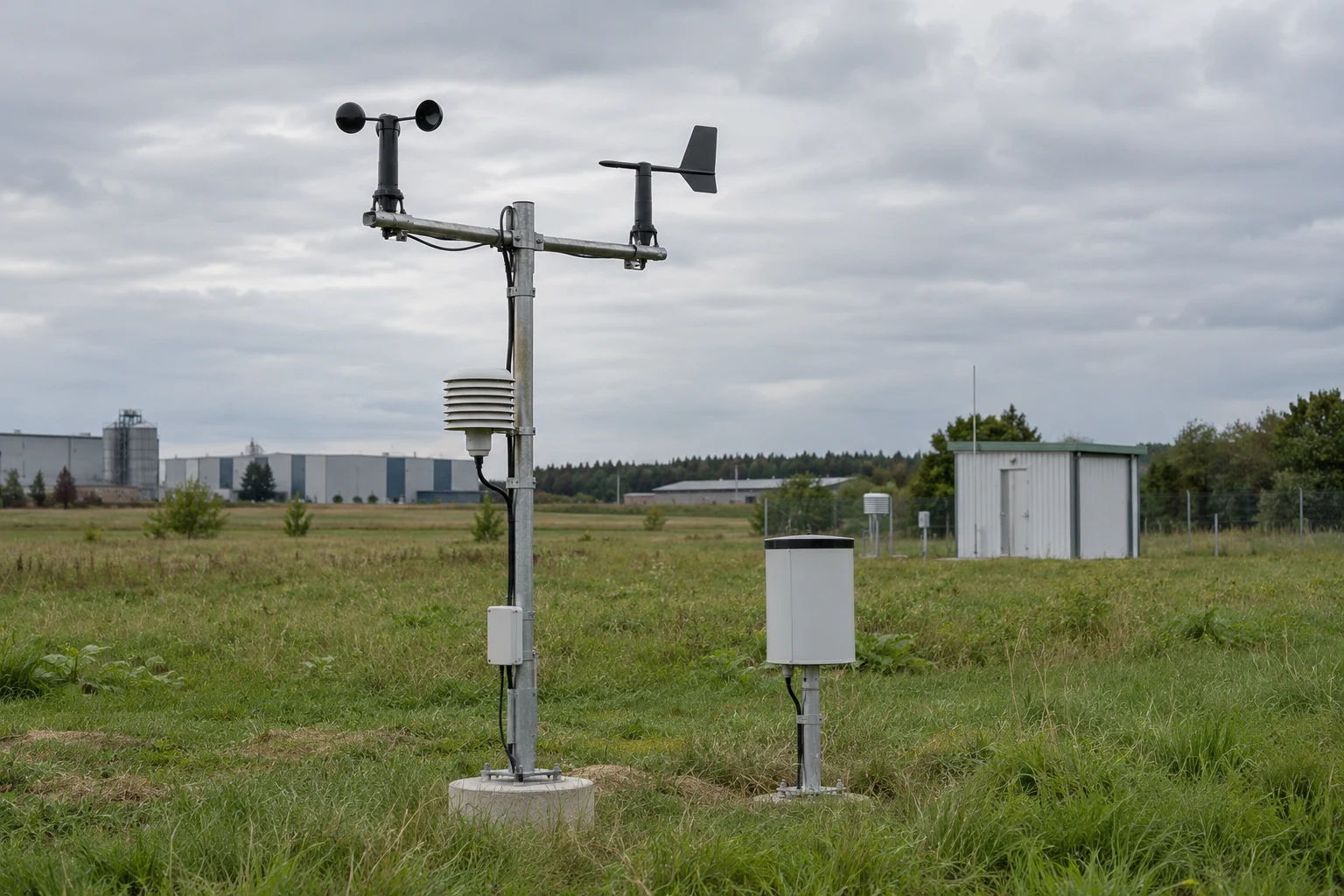
Home/IoT Custom/Hitelecom H600 Weather Monitoring Station
H600 weather monitoring station. Local weather. Connected to your site.
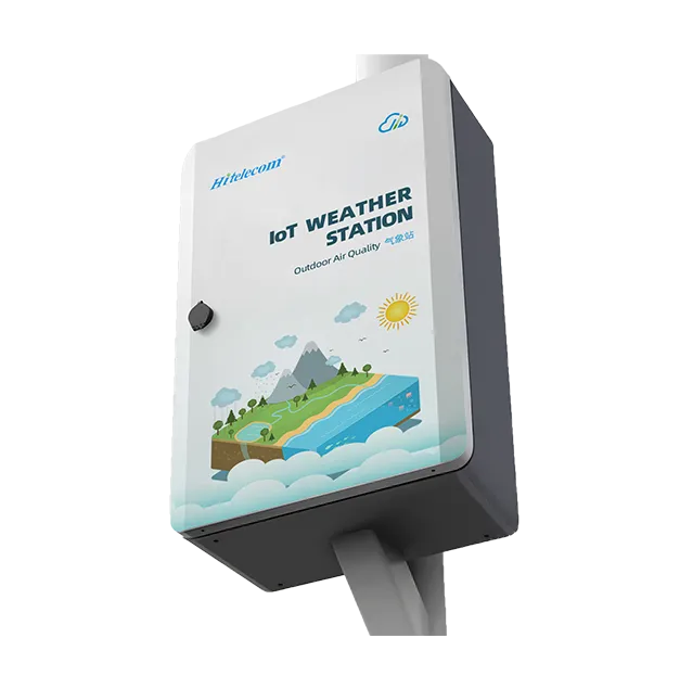
H600 · Weather-station terminal shown
The Hitelecom H600 brings selected meteorological measurements into a connected site-monitoring system. Configure 2–12 sensor channels around the weather information your team needs, with solar or mains power and a selected 4G LTE, NB-IoT or LoRa version. View uploaded monitoring data online in Hitelecom Cloud and receive alerts when readings exceed configured thresholds, or agree integration with a compatible customer platform.
2–12Configured sensor channelsSelect measurements and sensing assemblies for the project
Solar / MainsPower optionsSize the supplied power system for the site and operating profile
MQTTPlatform data integrationHitelecom Cloud or an agreed compatible customer platform
KEY FEATURES
Weather measurements. Defined around the site.
Specify the measurements, power and data path as one station configuration. Keep sensor performance, reporting requirements and installation conditions visible from selection through handover.
Configurable measurement channels
Select 2–12 sensor channels for the project. Meteorological options include air temperature, relative humidity, wind speed and direction, atmospheric pressure, rainfall and solar radiation; the supplied channel schedule defines the actual set.
Solar or mains power
Choose a solar-power or mains-power configuration around sensor demand, the sampling and reporting profile, site exposure and available infrastructure. Confirm the supplied power assembly and maintenance requirements.
Selected wireless connectivity
Specify the 4G LTE, NB-IoT or LoRa version for the deployment. Match cellular hardware to the local operator; a LoRa installation requires the agreed compatible receiving path and platform integration.
Online data and threshold alerts
Use Hitelecom Cloud to view uploaded monitoring data online and receive alerts when measurements exceed configured thresholds. Define the monitored points, limits and notification recipients around the site workflow.
MQTT platform integration
Bring the selected records into Hitelecom Cloud or a compatible customer platform. Agree the data path, endpoint, message format, device identity, measurement units and authentication configuration.
IP65 installation reference
The published station protection reference is IP65. Specify enclosure sealing, cable entries, sensor exposure and mounting as a complete installation; confirm the ratings and operating limits of the supplied components.
NFC-enabled local setup
NFC-enabled configurations support activation and local device setup. Confirm the supplied hardware, available configuration functions and commissioning procedure for the project.
Remote firmware maintenance
Supported configurations provide OTA firmware updates through the agreed remote-management path. Confirm firmware compatibility, connectivity and the update procedure during commissioning.
STATION PLANNING
Define the measurements. Plan the deployment.
A useful weather record begins with the measurement objective and exposure at the sensing point. Plan the channel schedule, station locations, power and onward connection together.
01↗
Define the measurements
List the required quantities and distinguish measured channels from any calculations expected in a receiving system. Specify the sensor range, accuracy, resolution, units, sampling interval and reporting interval for each selected channel.
Assess terrain, surrounding structures, vegetation, nearby heat sources and exposure. Select sensor positions and mounting arrangements that suit the measurement objective, with access for inspection and cleaning.
Project inputs
Site layout · Sensor exposure · Mounting position · Maintenance access · Representative conditions
Review sensor loads, the reporting profile, available sunlight or mains supply and the selected communications version. Confirm the receiving system and verify the end-to-end data path with the supplied configuration.
Project inputs
Power budget · Solar or mains supply · Operator or LoRa receiving path · MQTT mapping · Acceptance checks
Position the sensors. Verify the complete station.
Plan the mast or support, foundation or mounting interface, sensor exposure, cable routing and service access as one installation. Account for shading, structures, turbulence and local heat sources that could affect the measurements. Solar supply and wireless reporting still require a suitable power budget, an available data path and a maintained sensing assembly.
FROM FIELD OBSERVATIONS TO RESPONSE
Measure at the site. Connect the observations.
Define sensing, transmission and platform response as one monitoring workflow. Verify the selected channels and the data path with representative readings before handover.
01
Measure the selected channels
The configured sensors measure the specified weather quantities. Record the channel identity, units and relevant sensor performance conditions in the project schedule.
02
Report through the selected version
Send records according to the agreed sampling and reporting profile through the supplied 4G LTE, NB-IoT or LoRa configuration and its compatible onward data path.
03
View data and respond
View uploaded monitoring data online in Hitelecom Cloud and receive alerts when readings exceed configured thresholds. A customer platform can provide its own agreed displays, notification workflow and data handling.
MEASUREMENT CONFIGURATIONMeasurement by configuration. Conditions at the point of use.
Specify the sensor, range, accuracy, resolution and exposure conditions for each selected quantity. The 2–12-channel reference describes a configured station; the supplied channel schedule identifies the actual sensors included. Sampling, reporting and threshold-notification requirements are separate parts of the project definition.
APPLICATIONS
Local observations. Across the places you operate.
Configure weather observations around the operating questions at each site. The examples below describe selected measurement uses; sensors, exposure, reporting and platform workflows are specified for the application.
12 application categories /36 monitoring tasks
Representative environments. Suitability depends on sensor compatibility, radio coverage, power and platform integration.
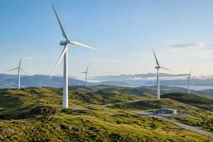
Use configured site weather observations as local operational records around wind-power facilities and their support infrastructure.
Local wind-speed and direction records
Records wind channels at the specified station position.+
Wind Power Facilities · Illustrative environment
Track local wind observations at the installed sensing point for operational review. For a hub-height observation objective, specify the required sensing position and suitable instruments separately.
Station role
Records wind channels at the specified station position.
Deployment considerations
Document sensing height, terrain and nearby obstructions, and assess whether the position suits the project objective.
Project details
Observation objective, sensor requirements, mounting position, terrain and reporting needs.
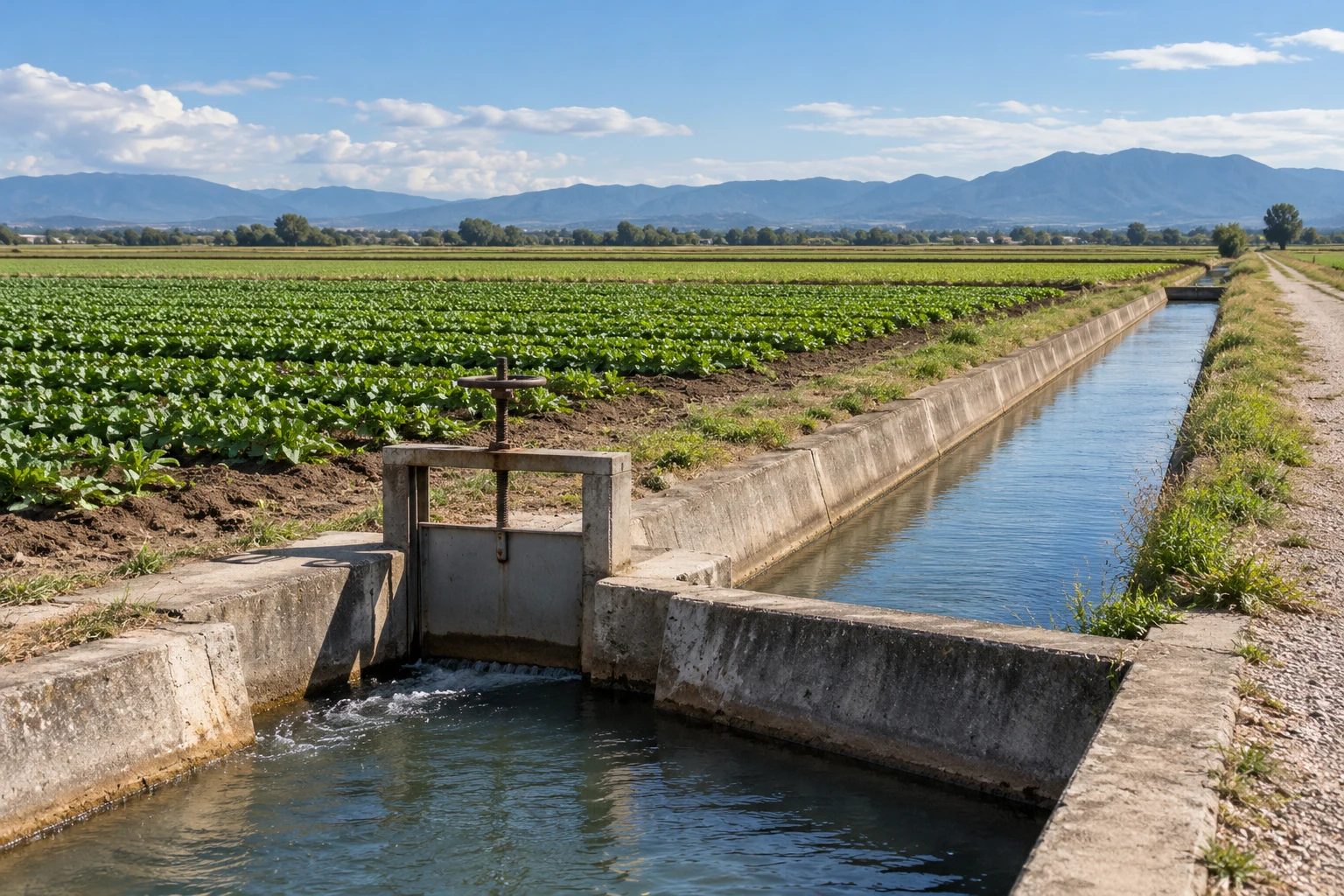
Record field weather for crop-management review, keeping station observations and any agronomic calculations in the receiving system clearly distinguished.
Field microclimate observations
Records configured air-temperature, humidity and atmospheric channels.+
Open-Field Agriculture · Illustrative environment
Follow local atmospheric conditions across a growing season and compare the records with field observations and crop-management notes.
Station role
Records configured air-temperature, humidity and atmospheric channels.
Deployment considerations
Select exposure representative of the monitored field and account for terrain, vegetation growth and nearby irrigated areas.
Project details
Crop and field layout, required quantities, seasonal exposure and reporting interval.
Reports readings from the selected rainfall sensor.+
Open-Field Agriculture · Illustrative environment
Retain local rainfall observations for review alongside irrigation and field water-management records. Any water-balance calculation must be defined separately.
Station role
Reports readings from the selected rainfall sensor.
Deployment considerations
Assess rainfall exposure and access for inspection or cleaning; keep the measurement point clear of unsuitable sheltering or splash effects.
Project details
Rainfall quantity, sensor specification, field locations, record intervals and receiving-system needs.
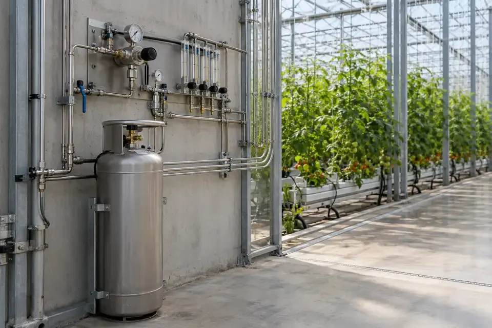
Combine outdoor reference weather and selected channels around protected-growing facilities to support review of the conditions surrounding production.
Outdoor reference weather for greenhouses
Records selected atmospheric measurements outside the growing structure.+
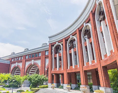
Add local outdoor observations to facility and urban-site monitoring, with sensing positions chosen for the spaces the records are intended to represent.
Courtyard and public-space microclimate
Records selected outdoor temperature, humidity and wind channels.+
Review local rainfall history alongside drainage inspections, grounds maintenance and other facility records. Water level requires a separately specified measurement system.
Station role
Collects configured rainfall observations for site review.
Deployment considerations
Select rainfall exposure suited to the site and provide a practical inspection and cleaning route.
Project details
Campus drainage areas, rainfall measurement requirements, observation position and record intervals.
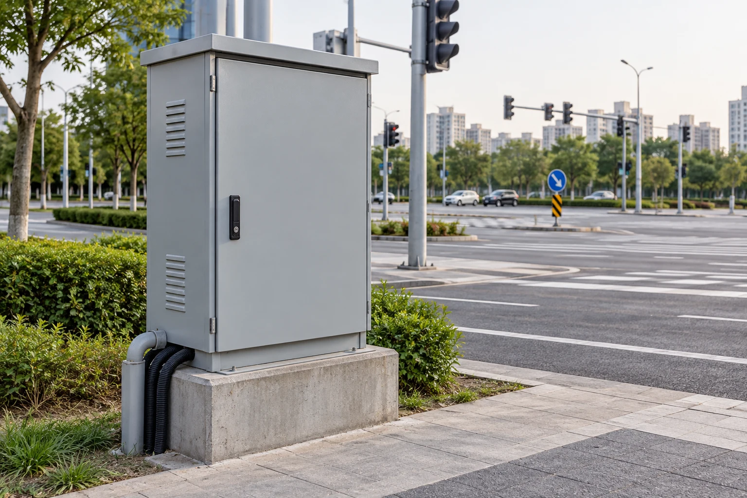
Retain local atmospheric records along road or rail infrastructure for environmental and maintenance review. Document sensor positions and measurements to support comparison between selected corridor locations.
Station role
Reports selected temperature, humidity, pressure and rainfall channels.
Deployment considerations
Choose a position clear of unsuitable traffic heat, splash and structural shielding while maintaining service access.
Project details
Required channels, corridor conditions, available power, communication coverage and reporting interval.
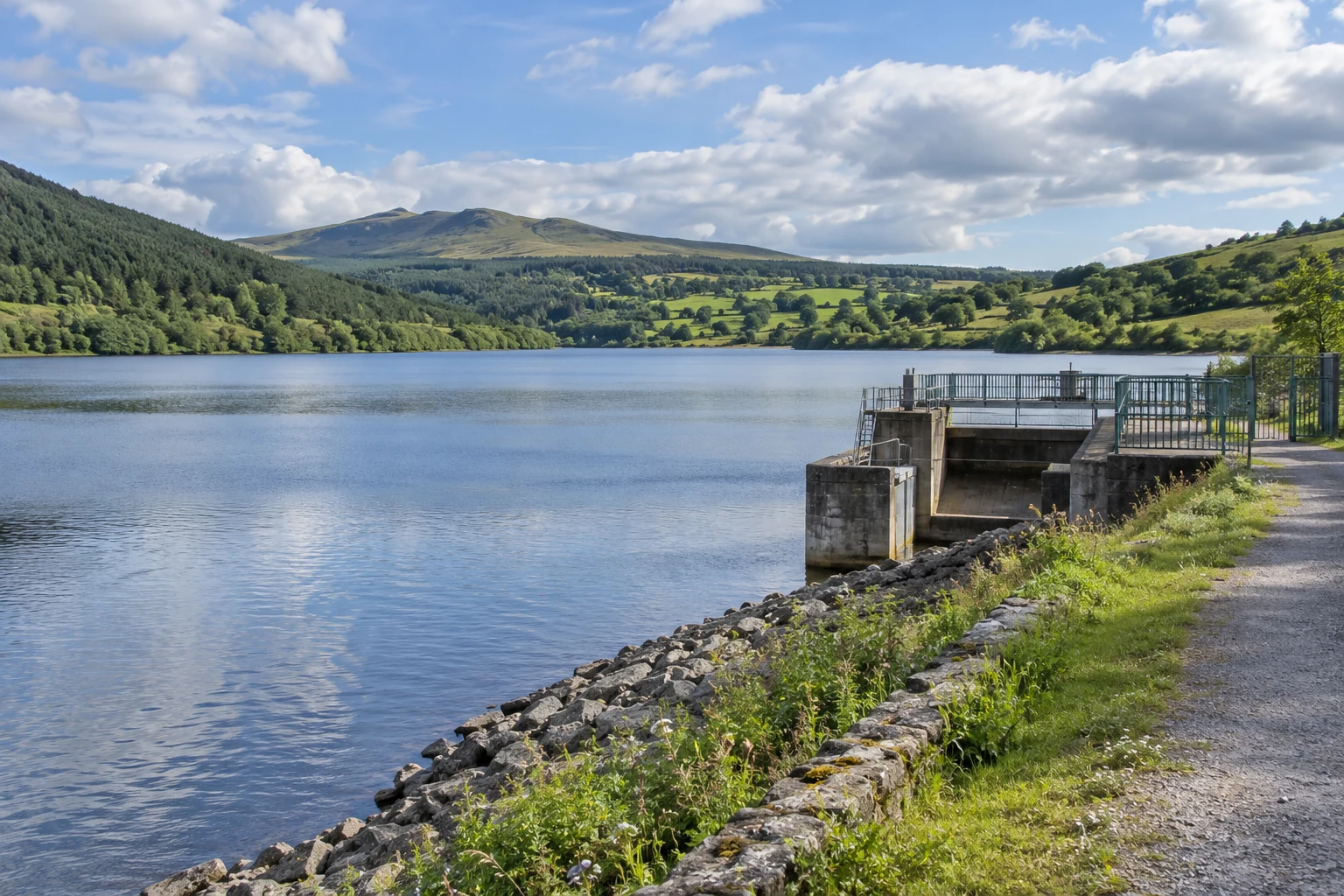
Water Utilities & Catchment Sites · Illustrative environment
Collect meteorological observations around water infrastructure and catchments, keeping rainfall and weather channels separate from hydrological measurements.
Catchment rainfall observations
Reports configured rainfall-channel records.+
Water Utilities & Catchment Sites · Illustrative environment
Collect local rainfall observations for comparison with separately obtained water-level or flow records in a catchment-monitoring program.
Station role
Reports configured rainfall-channel records.
Deployment considerations
Assess terrain and sheltering at the rainfall measurement point, and plan access for inspection and maintenance.
Project details
Catchment layout, rainfall requirements, other data sources, station positions and reporting needs.
Records selected atmospheric and wind measurements near a reservoir.+
Water Utilities & Catchment Sites · Illustrative environment
Document local weather at the installed point for operational and environmental review around reservoir facilities, with separately configured hydrological records available for comparison where required.
Station role
Records selected atmospheric and wind measurements near a reservoir.
Deployment considerations
Account for shoreline exposure, surrounding structures and maintenance access; specify components for the actual site environment.
Project details
Shoreline layout, required weather quantities, power options and receiving-system requirements.
Collects selected weather observations around water-utility facilities.+
Water Utilities & Catchment Sites · Illustrative environment
Review atmospheric and rainfall records alongside plant inspections and site-maintenance history. Select additional water measurements through a separate agreed configuration.
Station role
Collects selected weather observations around water-utility facilities.
Deployment considerations
Avoid building heat, exhaust and other unsuitable local influences, and verify the selected power and communication arrangement.
Project details
Utility-site layout, required channels, measurement exposure and record-review workflow.
Coastal & Port Facilities · Illustrative environment
Specify weather measurements for shore-based facilities, with component exposure, mounting and maintenance matched to the site conditions.
Weather observations around port facilities
Reports selected wind and atmospheric channels at the installed point.+
Coastal & Port Facilities · Illustrative environment
Document local weather for review alongside port operating and maintenance records. Confirm the project measurement requirements, component exposure and installation documentation before deployment.
Station role
Reports selected wind and atmospheric channels at the installed point.
Deployment considerations
Review salt exposure, turbulence from structures, mounting and practical access; confirm suitable components for the environment.
Project details
Port layout, weather quantities, exposure conditions, mounting and platform workflow.
Records configured weather channels near estuary-monitoring locations.+
Coastal & Port Facilities · Illustrative environment
Compare local atmospheric and rainfall records with separately measured hydrological data. Tide, water level and water quality require their own selected sensing arrangements.
Station role
Records configured weather channels near estuary-monitoring locations.
Deployment considerations
Select a location that suits the meteorological objective and account for changing access and waterside exposure.
Project details
Observation program, weather channels, external hydrology data and reporting requirements.
Reports configured weather and confirmed particulate-channel records.+
Construction & Civil Works · Illustrative environment
Review wind and ambient conditions with PM2.5 or PM10 records where those sensors are included. Define the measurement performance, documentation and any applicable project requirements with the selected sensing assembly.
Station role
Reports configured weather and confirmed particulate-channel records.
Deployment considerations
Specify the exposure requirements and maintenance needs of the weather and particulate sensors separately.
Project details
Required quantities, selected sensors, measurement performance, site exposure and data-review needs.
Observe local outdoor conditions around landscapes, forest edges and heritage settings, with the station placement matched to the environmental question.
Park and landscape microclimate
Records selected atmospheric and rainfall channels.+
Build a local weather record for ecological and forestry programs. Specify the weather quantities and any additional environmental channels required for the observation program.
Station role
Reports configured weather measurements at an accessible field location.
Deployment considerations
Assess the influence of vegetation, terrain and seasonal canopy changes, and plan power, communication and maintenance access.
Project details
Field locations, required weather quantities, seasonal exposure and data-transfer requirements.
Review atmospheric and rainfall history alongside grounds, drainage and building-exterior inspections. The selected weather measurements provide outdoor context around the property.
Station role
Collects selected weather observations around the property setting.
Deployment considerations
Select representative exposure without unsuitable effects from walls, exhausts or sheltered courtyards unless those are the intended observation targets.
Project details
Property layout, observation zones, installation restrictions and platform-review requirements.
Make configured local observations available to teaching and environmental programs, with sensor specifications and site conditions documented for interpretation.
Local weather for teaching programs
Reports selected measurements to the agreed monitoring platform.+
Use accessible local weather records in classroom and field activities, with the configured quantities, units and observation location clearly identified.
Station role
Reports selected measurements to the agreed monitoring platform.
Deployment considerations
Provide suitable supervision and service access while preserving the exposure required by the selected sensors.
Project details
Teaching objectives, channels, observation site, user access and data-view requirements.
Provide site weather context for an environmental observation program, with any additional analysis or derived quantities defined in the receiving system.
Station role
Records selected atmospheric, rainfall and radiation channels.
Deployment considerations
Plan calibration documentation, inspection and cleaning around the selected instruments and intended program requirements.
Project details
Program objectives, measurement requirements, documentation, maintenance plan and platform integration.
Your monitoring station. Your measurement specification.
Use the model reference to specify measurement channels, selected probes, power, communication and installation conditions. Confirm each configuration before ordering.
H600 weather monitoring station - model reference
Model
H600
Station role
Configurable meteorological monitoring station
Sensor channels
2–12 channels, selected for the project
Meteorological channel options
Air temperature, relative humidity, wind speed, wind direction, atmospheric pressure, rainfall and solar radiation; by configuration
Extended environmental options
PM2.5 / PM10, CO2 or SO2 channels where specified and confirmed for the supplied configuration
Measurement range
Specified for each selected sensor and application
Accuracy and resolution
Specified for the selected sensor, working range and measurement conditions; no single station-wide value
Sampling and reporting
Define the sampling interval, reporting interval and threshold-notification requirements for the project
Communication versions
4G LTE / NB-IoT / LoRa, by selected hardware and firmware configuration
Data protocol
MQTT; agree the onward data path, endpoint, message format and authentication
Published LTE bands
LTE-TDD B34 / B38 / B39 / B40 / B41; LTE-FDD B1 / B3 / B5 / B8. Select the modem for the deployment operator.
Power options
Solar power or mains supply, by project configuration
Protection reference
IP65 station reference; confirm component ratings, sealing and installation conditions
Local setup
NFC activation and local configuration on the supplied NFC-enabled version
Remote maintenance
OTA firmware updates on the supported configuration and agreed management path
Mounting options
Mounting lugs / pole clamp / slotted mount, by supplied configuration
Define the complete monitoring project.
01
Define the measurement channels
Parameters, selected probes, ranges, accuracy conditions, sampling and reporting requirements.
02
Define the installation
Station location, sensor exposure, mounting, power budget, cable routing and service access.
03
Define the receiving system
Selected communication version, compatible receiving path, platform mapping, alert recipients and commissioning checks.
CONNECTIVITY & INTEGRATION
Field observations. Connected to your operation.
Bring selected measurement records into Hitelecom Cloud or a compatible customer platform. Define the sensors, communication version and platform workflow in the same project plan.
View uploaded monitoring data online and receive alerts when measurements exceed configured thresholds. Configure the monitoring points, limits and notification recipients around the site's operating procedures.
Online access to uploaded monitoring data
Configured threshold alarms and notification workflow
Agreed sampling, reporting and response requirements
CUSTOMER PLATFORM
Integrate the records you need.
Station records→MQTT→Your platform
Agree the platform connection and data mapping for the selected communication version. Confirm MQTT configuration where used; a LoRa deployment also needs a compatible receiving gateway and integration path.
Endpoint, topics and message format
Supported authentication and transport-security settings
End-to-end verification with representative devices
Commission the complete monitoring path.
Verify a known sensor reading at the receiving platform, then test a configured threshold event and its notification recipient. Record the actual radio and backhaul conditions as part of the handover.
The H600 is configured with 2–12 selected sensor channels. Meteorological options include air temperature, relative humidity, wind speed and direction, atmospheric pressure, rainfall and solar radiation. The actual sensor set is defined for the project. Product images identify the terminal; supplied sensors and mounting follow the project configuration.
How many channels should I specify?+
The H600 product reference is 2–12 configurable sensor channels. Start with the quantities needed for the project, then select the sensors and record the actual channel set in the supplied configuration. The channel schedule defines what is measured at the site.
What are the measurement range and accuracy?+
Range, accuracy and resolution depend on the selected sensor and working conditions. Specify these for every required quantity, including the applicable range, exposure and any calibration documentation. There is no single accuracy figure that describes all H600 channels.
How are sampling, reporting and alerts configured?+
Define the sampling interval, reporting interval and threshold-notification requirements separately. Their implementation depends on the selected sensors, communications version, power system and platform configuration. Agree the required operating profile and verify it during commissioning.
Can the station use solar power at a remote site?+
A solar-power configuration can be selected for a suitable site. Size the power system for the sensor loads, operating profile and local solar conditions, and provide the required mounting, communication coverage and maintenance access. A fixed autonomy period is not specified for every configuration.
Which communication version should I select?+
Choose the 4G LTE, NB-IoT or LoRa version around the site and receiving system. Match cellular bands and modem configuration to the local operator. A LoRa project needs an agreed compatible receiver or gateway and onward integration; LoRa alone does not establish LoRaWAN interoperability.
Can the H600 connect to a customer platform?+
A compatible customer-platform integration can be agreed using the published MQTT data approach. Define the complete data path, endpoint, topics, payload mapping, device identity, units, timestamps and supported authentication for the supplied communication version.
What can users do in Hitelecom Cloud?+
Users can view uploaded monitoring data online and receive alerts when readings exceed configured thresholds. Agree the channel views, threshold values, notification recipients and operating workflow for the project, and verify them with representative measurements.
Are NFC setup and OTA updates available?+
NFC activation and local configuration, and remote OTA firmware updates, are listed in the product reference. Confirm their availability, supported settings and operating procedure for the supplied hardware, firmware and platform configuration.
Does IP65 apply to every part of the installed station?+
IP65 is the published station protection reference. The sensing elements, enclosure, connectors, power assembly and mounting must be specified for their individual exposure and installation conditions. Confirm the ratings and operating limits of the complete supplied assembly.
What installation and maintenance planning is needed?+
Plan representative sensor exposure, mounting, power, the data path and service access. Nearby structures, vegetation, shading, heat sources and surface conditions can affect observations. Follow the supplied inspection, cleaning and maintenance procedures for the selected sensors and power system.
How does the H600 differ from the H700 hydrology station?+
H600 is configured around meteorological observations such as wind, rainfall, atmospheric conditions and solar radiation. H700 is configured around water-level, flow-related, water-quality and associated environmental channels. Select the platform and sensing assemblies by the required monitored quantities.
LET'S TALK ABOUT YOUR PROJECT
Your monitoring project. A defined station configuration.
Share the site, required measurements and data destination. We will help define the H600 sensor configuration, power arrangement, communication version and integration scope.
A site plan, parameter list and sampling or reporting requirements give the project a useful starting point. Add the power conditions, installation country and receiving platform.