
H700 hydrology
monitoring station.
Field water data.
Connected to your site.

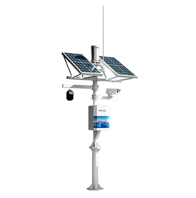
Hitelecom H700 hydrology monitoring station, official product image
H700 · Hydrology monitoring station

The Hitelecom H700 brings selected water and environmental measurements into a connected monitoring system. Configure 2–12 sensor channels around water level, flow-related observations, water-quality measurements and relevant weather conditions. Select the sensing assemblies, solar or mains power, communication version and reporting profile for the site. View uploaded data online in Hitelecom Cloud, receive alerts when readings exceed configured thresholds, or agree MQTT integration with a compatible customer platform.

2–12Configured sensor channelsSelect the measurements and sensing assemblies
Solar / MainsSite power configurationSize the power system around the complete load
MQTTPlatform data integrationHitelecom Cloud or a compatible customer platform

KEY FEATURES

Water observations.
Configured for the site.

Define each measurement, its installation and its data path as part of one station configuration. The selected sensors determine what the station measures.

Configured hydrological measurements

Select 2–12 sensor channels for the project. Water level, flow-related and water-quality measurements can be combined with relevant environmental channels, subject to the agreed sensor configuration.

4G LTE / NB-IoT / LoRa

Select the wireless hardware version for the deployment. Check the local operator for cellular configurations and the compatible receiver or gateway arrangement for a LoRa installation.

Solar or mains power

Choose a power arrangement for the complete station. Size the selected power assembly, including energy storage where specified, around the sensors, reporting profile, local weather and maintenance arrangements.

IP65 protection reference

The published station reference specifies IP65. Confirm enclosure seals, cable entries, individual probe ratings and the environmental suitability of the complete supplied assembly.

Hitelecom Cloud monitoring

View uploaded monitoring data online and receive alerts when readings exceed configured thresholds. Set measurement limits, notification recipients and the review process around the site operating procedures.

MQTT data integration

Connect records to Hitelecom Cloud or a compatible customer platform using the agreed data path. Define device identity, units, timestamps, payload mapping and supported authentication for the selected configuration.

NFC commissioning

NFC activation and local device configuration are listed in the product reference. Confirm the available functions and commissioning procedure for the supplied hardware and firmware.

OTA maintenance

Remote OTA firmware updates are listed in the product reference. Agree the supported update process, platform access, power and connectivity requirements for the supplied configuration.

STATION PLANNING

Define the measurements.
Plan the deployment.

Start with the water body and the purpose of the observations. A useful station specification connects the sensing method, hydraulic conditions, installation, power and reporting requirements.

01

Define each measurement

List the required parameters and sensor channels. Specify working ranges, accuracy requirements, units and reporting needs for each selected sensing assembly; a channel count does not establish measurement performance.

Project inputs
Parameters · Sensor methods · Working ranges · Accuracy requirements · Units · Reporting profile
Discuss station planning ↗
02

Survey the measurement point

Assess the water-level datum, flow conditions, probe position and maintenance access. Review debris, fouling, changing water levels and local exposure before selecting the sensing assembly and mounting arrangement.

Project inputs
Site drawing · Water-level datum · Flow conditions · Probe position · Exposure · Service access
Discuss station planning ↗
03

Plan power and the data path

Size the power arrangement for the full sensor load and reporting schedule. Confirm cellular coverage or the LoRa receiving system, then agree the platform and threshold-notification workflow.

Project inputs
Sensor load · Solar / mains design · Communication version · Coverage · Platform · Alarm recipients
Discuss station planning ↗
PLACEMENT & INSTALLATION

Position the sensors.
Verify the complete station.

Position the station and probes for representative measurements and practical servicing. Establish the reference datum where level records require it, and protect cables, connectors and mounting hardware for the actual exposure. Verify the measurement at the receiving platform after installation; installation details and probe performance are part of the project configuration.

FROM FIELD OBSERVATIONS TO RESPONSE

Measure at the site.
Connect the observations.

Define sensing, transmission and platform response as one monitoring workflow. Verify the selected channels and the data path with representative readings before handover.

01

Measure the selected parameters

The configured sensing assemblies measure the agreed water and environmental parameters. Their sensing method, working range, installation and maintenance determine the meaning and quality of each record.

02

Report through the selected connection

The station collects configured sensor records and sends them using the selected wireless version and reporting profile. A LoRa configuration requires a compatible receiving system and an agreed onward data path.

03

Review data and threshold events

Use Hitelecom Cloud to view uploaded monitoring data online and receive alerts when measurements exceed configured thresholds. A compatible customer platform can provide its own agreed displays and notification workflow.

MEASUREMENT CONFIGURATIONSpecify each measurement.
Document its conditions.

There is no single range or accuracy value that applies to every H700 configuration. Define the sensor, measuring method, working span, installation conditions and acceptance checks for each channel. Water level, flow-related observations and water-quality measurements have different requirements; one cannot substitute for another without a defined method.

APPLICATIONS

Water monitoring.
Across your operating sites.

Configure water and environmental observations around the monitored asset, hydraulic conditions and the way the operating team uses the records. Each example depends on suitable sensors, representative placement, an available data path and an agreed review process.

12 application categories / 36 monitoring tasks

Representative environments. Suitability depends on sensor compatibility, radio coverage, power and platform integration.
01Rivers, Streams & Catchments3 monitoring tasks
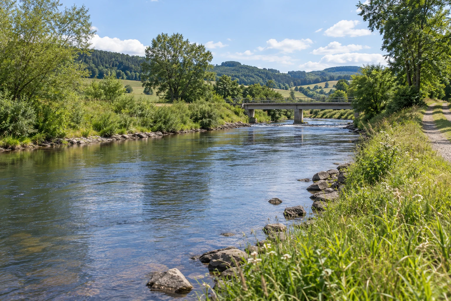
River channel with vegetated banks, a low concrete bridge and a bank-side access track
Rivers, Streams & Catchments · Illustrative environment

Observe selected water and weather conditions along rivers and tributaries. Define the measuring point and hydraulic context before comparing records.

River-stage observations

Measures and reports level using the selected sensing assembly.
River channel with vegetated banks, a low concrete bridge and a bank-side access track
Rivers, Streams & Catchments · Illustrative environment

Collect stage records at defined river locations for routine hydrological review. Maintain a documented datum and sensor position so changes can be interpreted consistently.

Station role
Measures and reports level using the selected sensing assembly.
Deployment considerations
Assess bank structures, changing levels, debris and service access. Match the sensor method and mounting to expected hydraulic conditions.
Project details
River reach, datum, level range, sensor method, installation position and reporting schedule.
Discuss this application

Tributary rainfall and level context

Reports the configured rainfall and water-level channels.
River channel with vegetated banks, a low concrete bridge and a bank-side access track
Rivers, Streams & Catchments · Illustrative environment

Review local rainfall alongside tributary levels to examine how observations change through an event. The records support analysis without establishing a site-specific forecast.

Station role
Reports the configured rainfall and water-level channels.
Deployment considerations
Review rainfall exposure and level-sensor placement separately. Align timestamps and maintain service access to both sensing assemblies.
Project details
Catchment layout, rainfall and level channels, positions, timestamps and reporting profile.
Discuss this application

Stream flow-related observations

Reports the flow-related quantity supplied by the selected sensor.
River channel with vegetated banks, a low concrete bridge and a bank-side access track
Rivers, Streams & Catchments · Illustrative environment

Collect agreed flow-related observations from a defined stream reach. Specify the measured quantity and method rather than treating a stage record as a direct flow-rate value.
Station role
Reports the flow-related quantity supplied by the selected sensor.
Deployment considerations
Assess channel geometry, water conditions and access. Document any separately validated interpretation method required by the project.
Project details
Required quantity, units, measuring method, expected conditions, mounting and acceptance checks.
Discuss this application
02Reservoirs & Lakes3 monitoring tasks
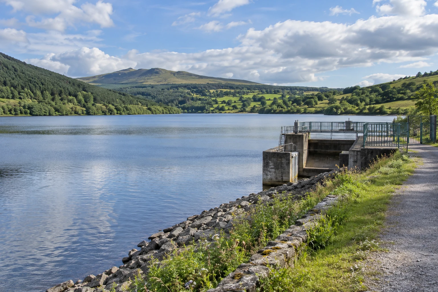
Freshwater reservoir with a small fenced water-control structure and surrounding green hills
Reservoirs & Lakes · Illustrative environment

Monitor selected level, water-quality and weather parameters around managed lakes and reservoirs. Keep measurement performance specific to each observation point.

Lake water-quality observation points

Collects selected quality channels from suitable installed probes.
Freshwater reservoir with a small fenced water-control structure and surrounding green hills
Reservoirs & Lakes · Illustrative environment

Bring agreed lake-water observations into the platform for trend review. Select parameters and probe depths around the monitoring purpose and local water conditions.

Station role
Collects selected quality channels from suitable installed probes.
Deployment considerations
Assess immersion, fouling, seasonal access and cleaning or calibration needs. Plan cable routing and station placement together.
Project details
Quality parameters, ranges, probe locations and depths, maintenance plan and reporting schedule.
Discuss this application

Reservoir weather context

Reports selected weather channels alongside the configured water observations.
Freshwater reservoir with a small fenced water-control structure and surrounding green hills
Reservoirs & Lakes · Illustrative environment

Add rainfall, air conditions, wind or other agreed weather observations to help staff interpret reservoir conditions. Any derived water-balance or forecast function requires separate definition.
Station role
Reports selected weather channels alongside the configured water observations.
Deployment considerations
Review weather exposure separately from shoreline probe placement. Verify power and the communication path for the combined channel set.
Project details
Weather and water channels, sensor layout, power requirements, update intervals and review needs.
Discuss this application
03Urban Stormwater & Drainage3 monitoring tasks
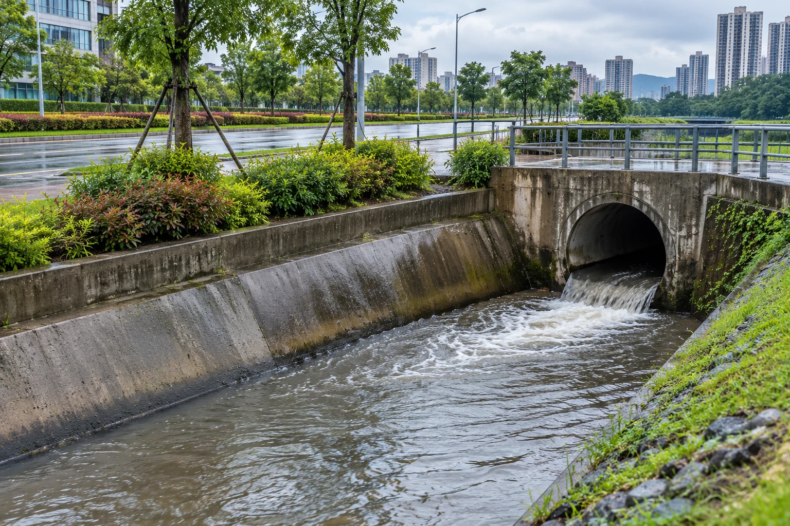
Urban concrete drainage channel receiving water from a culvert beside wet roadside landscaping
Urban Stormwater & Drainage · Illustrative environment

Collect rainfall and water observations at selected urban drainage locations. Configure measurement points and notifications around the site; a station does not prevent flooding.

Stormwater chamber levels

Measures the selected drainage-chamber level channel.
Urban concrete drainage channel receiving water from a culvert beside wet roadside landscaping
Urban Stormwater & Drainage · Illustrative environment

Follow level changes at accessible stormwater chambers for drainage review and configured notifications. Select the sensing assembly for chamber geometry and local exposure.

Station role
Measures the selected drainage-chamber level channel.
Deployment considerations
Account for access restrictions, debris, condensation and changing levels. Follow site procedures for installation and servicing.
Project details
Chamber dimensions, level range, sensor position, access constraints and notification workflow.
Discuss this application

Urban drainage outfalls

Reports selected level or flow-related records at the outfall.
Urban concrete drainage channel receiving water from a culvert beside wet roadside landscaping
Urban Stormwater & Drainage · Illustrative environment

Collect observations at defined drainage outfalls to compare locations and investigate changes. Assessments of discharge capacity or receiving-water effects require a separate project method.

Station role
Reports selected level or flow-related records at the outfall.
Deployment considerations
Review flow, debris, backwater and mounting access. Confirm sensor suitability across the expected conditions.
Project details
Outfall layout, required quantities, expected conditions, mounting and reporting intervals.
Discuss this application

Rainfall and drainage-level review

Combines selected rainfall and level channels in the reporting profile.
Urban concrete drainage channel receiving water from a culvert beside wet roadside landscaping
Urban Stormwater & Drainage · Illustrative environment

Make rainfall and drainage-level records available together for staff review. Align timestamps and reporting needs without implying an automatic rainfall-runoff model.
Station role
Combines selected rainfall and level channels in the reporting profile.
Deployment considerations
Provide representative rainfall exposure and a separately suitable level position. Check communications around buildings and infrastructure.
Project details
Sensor list, positions, timestamps, sampling and reporting profiles and review process.
Discuss this application
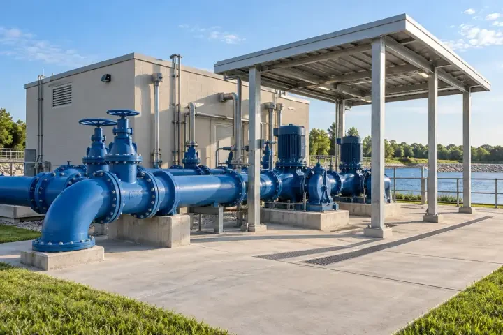
04Pumping Stations & Water Networks3 monitoring tasks
Outdoor water pumping installation with blue pipes, pumps and a protective canopy
Pumping Stations & Water Networks · Illustrative environment

Bring selected intake, storage and pumping-site measurements into the platform. Measurement channels and their installation remain separate from pump control functions.

Pump wet-well levels

Measures and reports level from the selected wet-well assembly.
Outdoor water pumping installation with blue pipes, pumps and a protective canopy
Pumping Stations & Water Networks · Illustrative environment

Follow wet-well levels for operating records and threshold notifications. Define the measuring span and probe arrangement for the well; pump control is outside the stated monitoring function.

Station role
Measures and reports level from the selected wet-well assembly.
Deployment considerations
Check turbulence, debris, cables and sensor access. Locate station and power components for the pumping-site conditions.
Project details
Well layout, level range, sensing method, constraints, reporting schedule and alarm recipients.
Discuss this application

Water-intake observations

Collects selected intake-level and water-condition channels.
Outdoor water pumping installation with blue pipes, pumps and a protective canopy
Pumping Stations & Water Networks · Illustrative environment

Monitor agreed intake observations to review changing supply conditions. Specify each water-level and quality channel individually so its source and units remain clear.

Station role
Collects selected intake-level and water-condition channels.
Deployment considerations
Assess water movement, probe protection, fouling and service access. Check component ratings and the site communication path.
Project details
Intake layout, parameters, ranges, probe positions and maintenance and reporting requirements.
Discuss this application

Pumping-network flow-related records

Reports compatible flow-related sensor records through the selected connection.
Outdoor water pumping installation with blue pipes, pumps and a protective canopy
Pumping Stations & Water Networks · Illustrative environment

Bring agreed flow-related observations from supply-network points into the platform. Define their relationship to other operating records without claiming automatic pump diagnosis.
Station role
Reports compatible flow-related sensor records through the selected connection.
Deployment considerations
Review pipe or channel conditions and sensor installation requirements. Confirm power, cable routing and payload mapping.
Project details
Measurement points, quantities, units, sensor interfaces, reporting profile and receiving-system needs.
Discuss this application
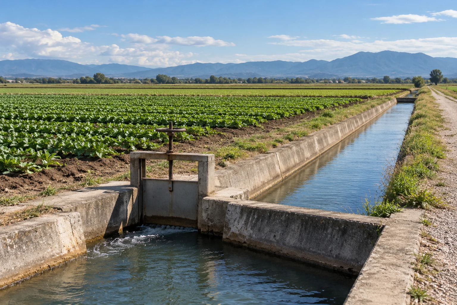
05Irrigation Canals & Distribution3 monitoring tasks
Concrete irrigation canal and manual sluice gate beside open crop fields
Irrigation Canals & Distribution · Illustrative environment

Record water observations across irrigation headworks, canals and distribution points. Define the measuring method, channel geometry and operating review process for each location.

Irrigation canal levels

Measures and reports level at selected canal monitoring points.
Concrete irrigation canal and manual sluice gate beside open crop fields
Irrigation Canals & Distribution · Illustrative environment

Follow canal-level variations for irrigation-network records. Use consistent reference information so staff can compare observations between headworks and downstream points.

Station role
Measures and reports level at selected canal monitoring points.
Deployment considerations
Assess geometry, flow, vegetation, debris and access. Match sensor and mounting to the expected level span.
Project details
Canal sections, datum requirements, level ranges, sensor positions and reporting intervals.
Discuss this application

Distribution-point flow observations

Collects the flow-related channel selected for the distribution point.
Concrete irrigation canal and manual sluice gate beside open crop fields
Irrigation Canals & Distribution · Illustrative environment

Record agreed flow-related measurements for operational review. Conversion from another measured quantity to flow requires an explicitly defined and validated method.

Station role
Collects the flow-related channel selected for the distribution point.
Deployment considerations
Confirm hydraulic installation and sensor requirements. Review power and communications separately from existing gates or valves.
Project details
Distribution layout, required quantities and units, sensor arrangement and acceptance requirements.
Discuss this application

Irrigation intake water conditions

Reports selected water-condition channels from the intake assembly.
Concrete irrigation canal and manual sluice gate beside open crop fields
Irrigation Canals & Distribution · Illustrative environment

Add agreed water-quality or temperature observations where the project requires them. Choose parameters and probes around the operating purpose and local water conditions.
Station role
Reports selected water-condition channels from the intake assembly.
Deployment considerations
Plan immersion, cleaning, calibration and seasonal access. Protect cables and connectors while retaining access to the intake.
Project details
Parameters, ranges, selected probes, installation depths, service plan and reporting profile.
Discuss this application
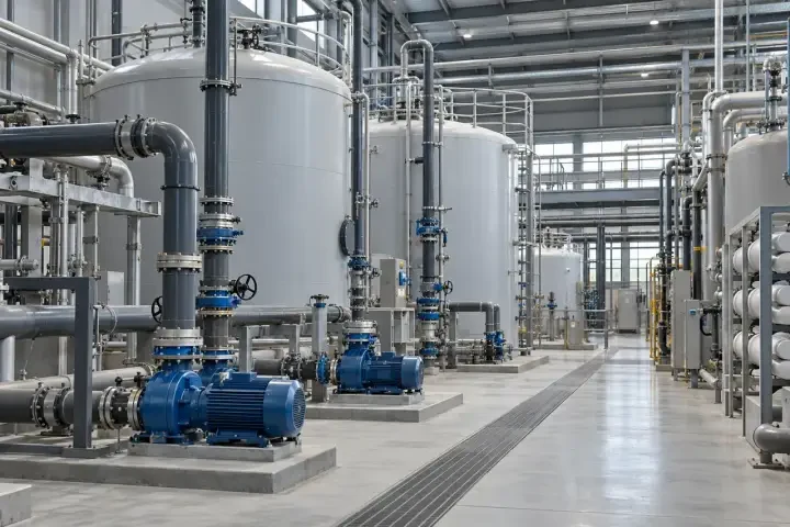
06Industrial & Process Water3 monitoring tasks
Industrial process-water pump gallery with pumps, pipes and accessible maintenance space
Industrial & Process Water · Illustrative environment

Collect water-level, quality and temperature observations in industrial service systems. Confirm process compatibility and installation requirements for each sensing assembly.

Service-water storage levels

Measures and reports the selected storage-vessel level channel.
Industrial process-water pump gallery with pumps, pipes and accessible maintenance space
Industrial & Process Water · Illustrative environment

Follow levels in suitable service-water tanks or basins for records and notifications. Specify vessel conditions and the sensing method; not every level probe suits every tank.

Station role
Measures and reports the selected storage-vessel level channel.
Deployment considerations
Check geometry, access and relevant pressure or environmental conditions. Match station power and wiring to the site.
Project details
Vessel layout, water conditions, level range, mounting and reporting and threshold requirements.
Discuss this application

Process-water quality records

Collects agreed quality channels from process-compatible probes.
Industrial process-water pump gallery with pumps, pipes and accessible maintenance space
Industrial & Process Water · Illustrative environment

Make selected process-water records available for trend review and investigation. Define each parameter and method separately from laboratory testing or regulatory reporting requirements.

Station role
Collects agreed quality channels from process-compatible probes.
Deployment considerations
Assess process connections, water conditions, fouling and calibration access. Verify suitability of wetted components.
Project details
Water description, parameters and ranges, sensing methods, connections and maintenance plan.
Discuss this application

Cooling-water observations

Reports selected temperature or other agreed water-condition channels.
Industrial process-water pump gallery with pumps, pipes and accessible maintenance space
Industrial & Process Water · Illustrative environment

Collect observations from accessible cooling-water points for operating review. Automatic treatment, dosing or equipment control requires a separately defined system.
Station role
Reports selected temperature or other agreed water-condition channels.
Deployment considerations
Select suitable probe positions and fittings for operating conditions. Review access, cable protection and electrical exposure.
Project details
Monitoring points, parameters, working ranges, probe installation and platform presentation.
Discuss this application
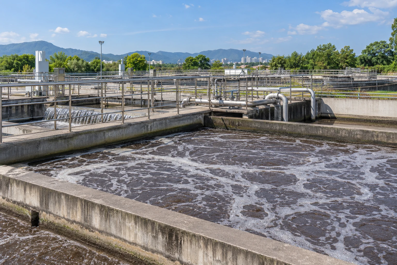
07Wastewater & Effluent Facilities3 monitoring tasks
Outdoor wastewater treatment basins with aerated water, pipework and metal access walkways
Wastewater & Effluent Facilities · Illustrative environment

Monitor selected level, flow-related and quality observations at wastewater facilities. Choose sensing assemblies and maintenance procedures for the actual water conditions.

Wastewater lift-station levels

Measures and reports level using the selected wastewater-suitable sensor.
Outdoor wastewater treatment basins with aerated water, pipework and metal access walkways
Wastewater & Effluent Facilities · Illustrative environment

Track wet-well levels for operating review and configured notifications. Select the assembly for the expected contaminants, debris and installation conditions.

Station role
Measures and reports level using the selected wastewater-suitable sensor.
Deployment considerations
Plan fouling management, cable protection, probe access and station location. Follow site access and maintenance procedures.
Project details
Well geometry, water conditions, measuring span, sensor arrangement and notification requirements.
Discuss this application

Treated-effluent observation points

Reports agreed quality channels from suitable effluent probes.
Outdoor wastewater treatment basins with aerated water, pipework and metal access walkways
Wastewater & Effluent Facilities · Illustrative environment

Bring selected effluent records into the platform for review. Parameters, methods and verification for formal compliance reporting must be defined separately.

Station role
Reports agreed quality channels from suitable effluent probes.
Deployment considerations
Assess probe immersion, fouling and calibration access. Match materials and installation to the effluent conditions.
Project details
Parameters, ranges, methods, probe positions, maintenance frequency and intended data use.
Discuss this application

Wastewater channel observations

Collects the level or flow-related channels specified for the channel.
Outdoor wastewater treatment basins with aerated water, pipework and metal access walkways
Wastewater & Effluent Facilities · Illustrative environment

Record observations at accessible process or discharge channels for investigation and facility records. Identify the measured quantity and any separately validated interpretation method.
Station role
Collects the level or flow-related channels specified for the channel.
Deployment considerations
Review geometry, hydraulic changes, debris and service access. Verify sensing method, power and communication at the mounting point.
Project details
Channel arrangement, quantities, conditions, sensor mounting and reporting profile.
Discuss this application
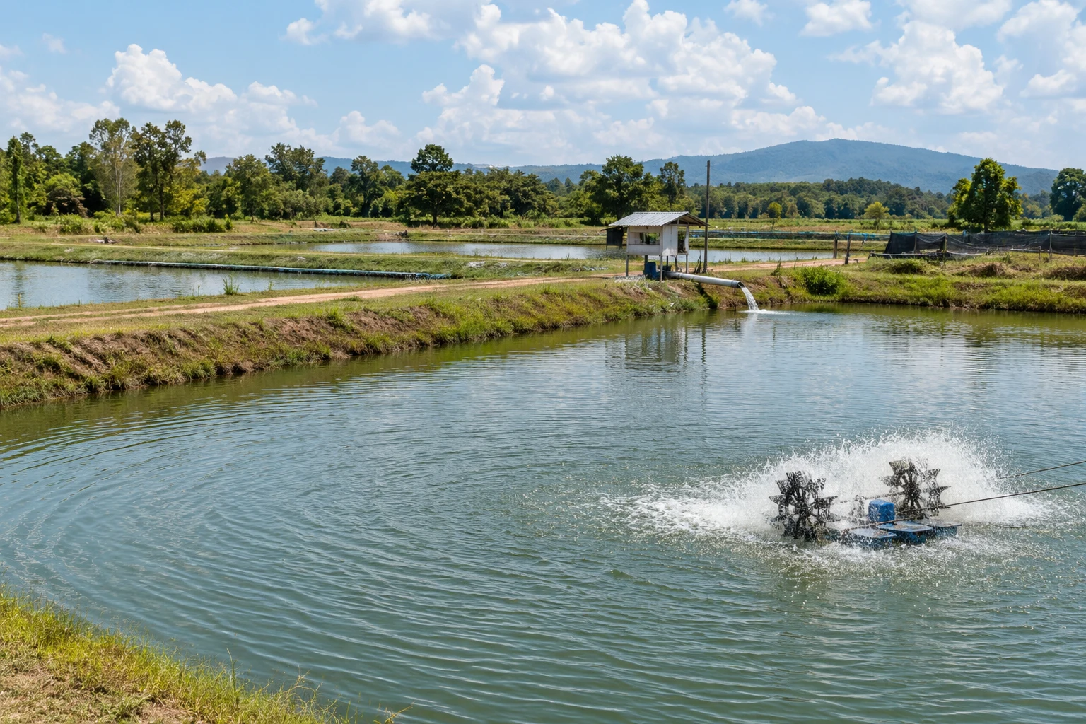
08Aquaculture & Pond Operations3 monitoring tasks
Aquaculture ponds with a paddlewheel aerator, bank-side paths and a water-supply pipe
Aquaculture & Pond Operations · Illustrative environment

Combine pond-water and selected weather observations for aquaculture operating records. Required quality parameters and probe maintenance procedures are chosen for the project.

Aquaculture pond levels

Measures and reports the selected pond-level channel.
Aquaculture ponds with a paddlewheel aerator, bank-side paths and a water-supply pipe
Aquaculture & Pond Operations · Illustrative environment

Follow levels at defined ponds or header tanks for routine operating review. Select the reference position and sensor range around expected variation and pond operations.

Station role
Measures and reports the selected pond-level channel.
Deployment considerations
Check bank access, probe protection and cables. Review communication and power for the complete station configuration.
Project details
Pond layout, level range, reference position, sensor arrangement and reporting intervals.
Discuss this application

Pond water-quality observation points

Collects the selected quality channels from the pond assembly.
Aquaculture ponds with a paddlewheel aerator, bank-side paths and a water-supply pipe
Aquaculture & Pond Operations · Illustrative environment

Make agreed pond-water measurements available for trend review and notifications. The parameter set and probes define the records; the station does not establish stocking or treatment decisions by itself.

Station role
Collects the selected quality channels from the pond assembly.
Deployment considerations
Plan depth, protection from equipment, fouling control and calibration access. Match probes to local water conditions.
Project details
Water conditions, parameters, probe depths and ranges, maintenance procedures and alarm recipients.
Discuss this application

Pond weather and water context

Reports selected weather channels with configured pond-water records.
Aquaculture ponds with a paddlewheel aerator, bank-side paths and a water-supply pipe
Aquaculture & Pond Operations · Illustrative environment

Bring rainfall, air conditions or other agreed weather observations together with pond records. Define timing and parameters around the intended operating review.
Station role
Reports selected weather channels with configured pond-water records.
Deployment considerations
Select weather exposure separately from pond-probe placement. Include all sensor loads and reporting needs in the power design.
Project details
Water and weather channels, positions, sampling and reporting requirements and display needs.
Discuss this application
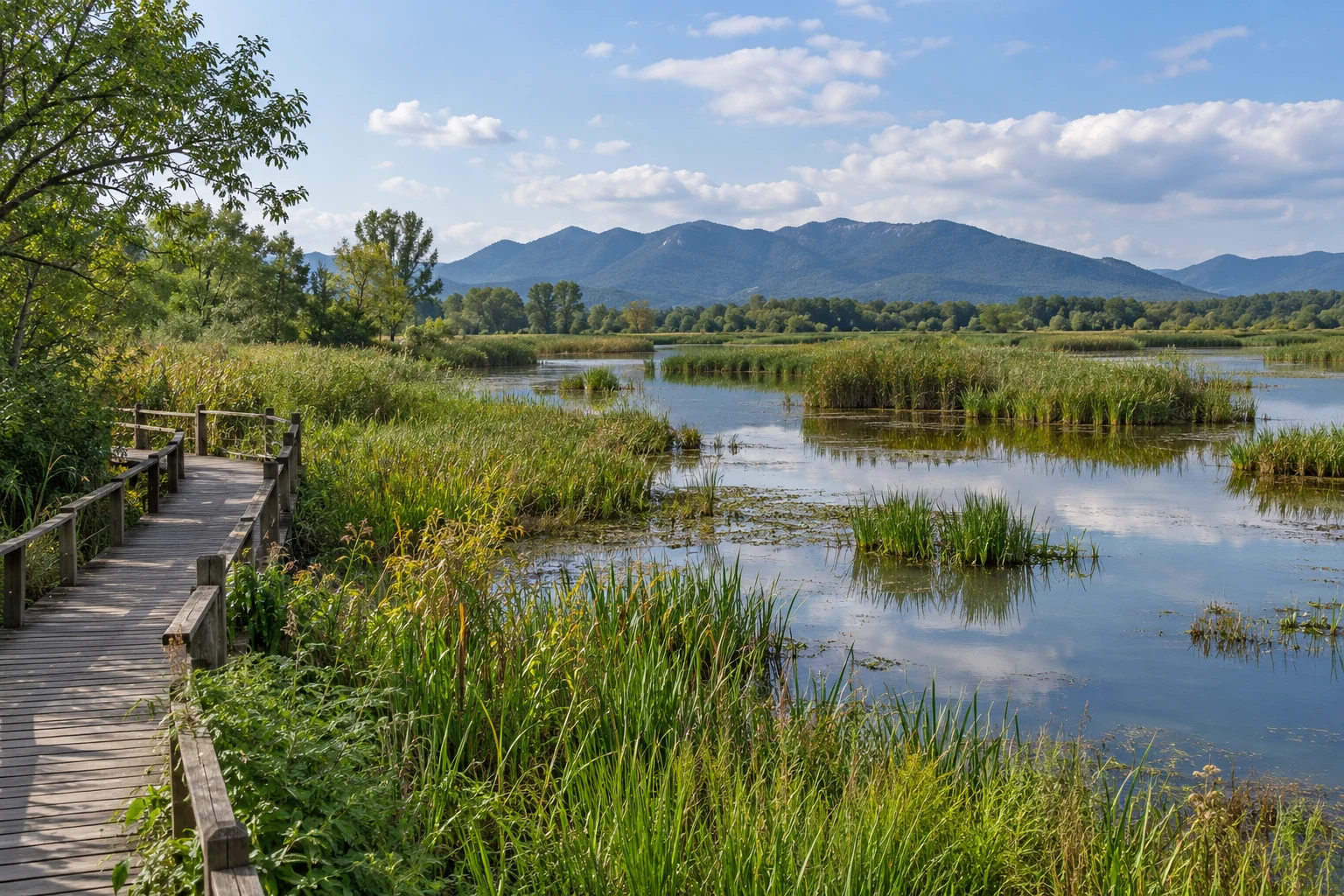
09Wetlands & Ecological Water Sites3 monitoring tasks
Freshwater wetland with reeds, shallow channels and a wooden observation boardwalk
Wetlands & Ecological Water Sites · Illustrative environment

Record water and environmental observations at wetland and restoration sites. Match the measurement approach to access, seasonal conditions and the purpose of the study.

Wetland water-level records

Measures and reports level at the selected observation point.
Freshwater wetland with reeds, shallow channels and a wooden observation boardwalk
Wetlands & Ecological Water Sites · Illustrative environment

Build records of wetland level variation at defined locations. Document reference information and installation so field teams can interpret changes across seasons and maintenance visits.

Station role
Measures and reports level at the selected observation point.
Deployment considerations
Assess soft ground, vegetation, seasonal access and probe protection. Follow site access constraints when locating and mounting the station.
Project details
Locations, reference information, level range, sensing method and seasonal service access.
Discuss this application

Weather context for ecological water sites

Reports selected environmental channels alongside configured water records.
Freshwater wetland with reeds, shallow channels and a wooden observation boardwalk
Wetlands & Ecological Water Sites · Illustrative environment

Add rainfall, air temperature or other agreed observations to water records. Keep measured channels separate from any ecological model or derived indicator used by the project team.
Station role
Reports selected environmental channels alongside configured water records.
Deployment considerations
Review exposure, vegetation change and access over the monitoring period. Account for seasonal power conditions and the selected data path.
Project details
Environmental and water channels, layout, seasonal conditions and intended data use.
Discuss this application
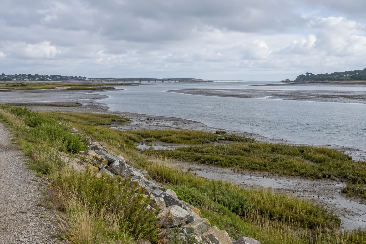
10Coastal & Estuary Water Sites3 monitoring tasks
Tidal river estuary with saltmarsh, exposed mudflat, an embankment path and a distant bridge
Coastal & Estuary Water Sites · Illustrative environment

Observe water-level, quality and selected weather conditions at estuary and coastal land sites. Specify sensing assemblies and materials for the actual exposure.

Estuary-stage observations

Measures and reports the selected estuary-level channel.
Tidal river estuary with saltmarsh, exposed mudflat, an embankment path and a distant bridge
Coastal & Estuary Water Sites · Illustrative environment

Collect level observations at a defined estuary point. Document the datum and sensor method; monitoring does not by itself provide tide prediction or a navigation service.

Station role
Measures and reports the selected estuary-level channel.
Deployment considerations
Assess level span, water conditions, waves, debris and corrosion exposure. Plan mounting, cables and service access.
Project details
Location, datum, level range, sensing method, environmental exposure and reporting needs.
Discuss this application

Coastal drainage observation points

Reports selected level or flow-related drainage observations.
Tidal river estuary with saltmarsh, exposed mudflat, an embankment path and a distant bridge
Coastal & Estuary Water Sites · Illustrative environment

Record conditions where drainage channels meet coastal waters. Define the purpose and measurement point so staff can review variations without assuming a fixed hydraulic relationship.

Station role
Reports selected level or flow-related drainage observations.
Deployment considerations
Review backwater, debris, changing access and probe protection. Verify power and communication at the station location.
Project details
Drainage layout, quantities, expected conditions, sensor positions and update intervals.
Discuss this application

Coastal water-quality observation points

Collects agreed quality channels from exposure-compatible probes.
Tidal river estuary with saltmarsh, exposed mudflat, an embankment path and a distant bridge
Coastal & Estuary Water Sites · Illustrative environment

Bring selected coastal or estuarine water-condition records into the platform. Choose probes for local conditions and define their cleaning and calibration process.
Station role
Collects agreed quality channels from exposure-compatible probes.
Deployment considerations
Check wetted materials and connectors for the exposure. Plan immersion, probe protection and maintenance access.
Project details
Water conditions, parameters and ranges, probe materials and positions, service plan and data needs.
Discuss this application
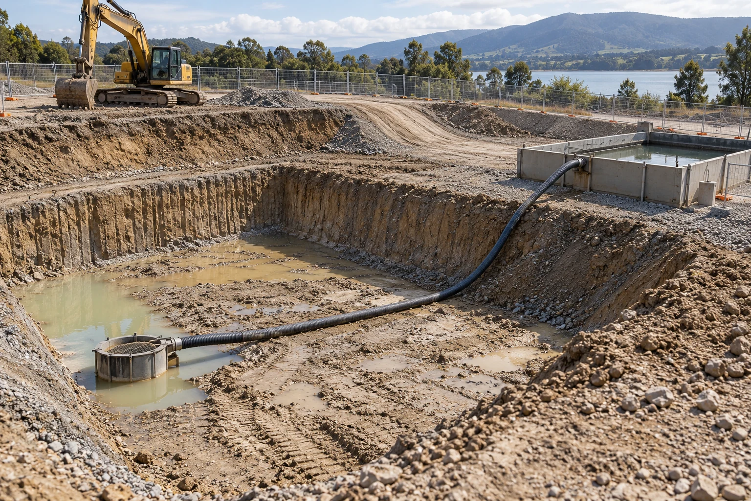
11Construction & Dewatering Sites3 monitoring tasks
Excavation sump and drainage hose leading toward a temporary settlement tank at a fenced construction site
Construction & Dewatering Sites · Illustrative environment

Follow sump, discharge and selected weather observations at construction sites. Keep monitoring records separate from pump control and site-engineering decisions.

Construction sump levels

Measures and reports level from the selected site sensing assembly.
Excavation sump and drainage hose leading toward a temporary settlement tank at a fenced construction site
Construction & Dewatering Sites · Illustrative environment

Collect sump levels for site review and configured notifications. Select the span and mounting around the changing excavation layout and water conditions.

Station role
Measures and reports level from the selected site sensing assembly.
Deployment considerations
Account for debris, equipment movement, temporary power and service access. Recheck reference information when the layout changes.
Project details
Excavation layout, sump positions, level range, installation requirements and notification workflow.
Discuss this application

Dewatering discharge observations

Reports the selected discharge flow-related or water-condition channels.
Excavation sump and drainage hose leading toward a temporary settlement tank at a fenced construction site
Construction & Dewatering Sites · Illustrative environment

Make discharge observations available for operating review and project records. Define formal measurement or reporting requirements separately, including the sensor method and acceptance checks.

Station role
Reports the selected discharge flow-related or water-condition channels.
Deployment considerations
Review pipe or channel conditions and probe requirements. Protect cables, station and power components from changing construction activity.
Project details
Discharge arrangement, quantities, units, methods, installation and intended data use.
Discuss this application

Construction rainfall and water context

Combines selected rainfall and site-water channels in one reporting profile.
Excavation sump and drainage hose leading toward a temporary settlement tank at a fenced construction site
Construction & Dewatering Sites · Illustrative environment

Review rainfall alongside site-water observations as part of the agreed operating process. The records do not imply automatic dewatering control or an assured response outcome.
Station role
Combines selected rainfall and site-water channels in one reporting profile.
Deployment considerations
Provide representative rainfall exposure and separate suitable water-measurement points. Recheck power and communications after relocation.
Project details
Channels, layout, reporting profile, relocation arrangements and required platform displays.
Discuss this application
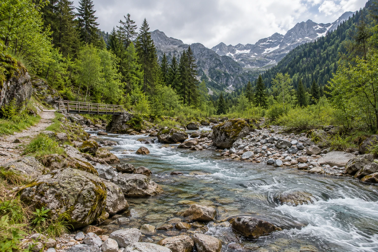
12Remote & Mountain Catchments3 monitoring tasks
Rocky mountain stream, forested slopes, access trail and a small footbridge
Remote & Mountain Catchments · Illustrative environment

Configure water and environmental observations for catchment sites with limited access. Treat power, communications and servicing as part of the monitoring design.

Remote stream-level records

Measures and reports level through the selected remote-site configuration.
Rocky mountain stream, forested slopes, access trail and a small footbridge
Remote & Mountain Catchments · Illustrative environment

Collect stage observations at defined stream locations for catchment records. Select the method and reference position for expected water conditions, and document the installation for later field review.

Station role
Measures and reports level through the selected remote-site configuration.
Deployment considerations
Assess terrain, mounting stability, debris and access. Verify the communication path at the installed station.
Project details
Catchment location, level range, reference information, sensor method, access and reporting needs.
Discuss this application

Headwater rainfall observations

Reports the rainfall channel selected for the catchment station.
Rocky mountain stream, forested slopes, access trail and a small footbridge
Remote & Mountain Catchments · Illustrative environment

Add local rainfall observations where field context is needed for nearby water records. Warning models and operating responses require their own defined systems.

Station role
Reports the rainfall channel selected for the catchment station.
Deployment considerations
Review exposure, vegetation, seasonal access and sensor maintenance. Size power for the complete station load and reporting needs.
Project details
Rainfall requirements, exposure, sensor arrangement, seasonal access, power design and update profile.
Discuss this application

Remote water-quality observation points

Collects selected water-condition channels using the agreed reporting profile.
Rocky mountain stream, forested slopes, access trail and a small footbridge
Remote & Mountain Catchments · Illustrative environment

Bring water-condition observations from accessible catchment points into the platform. Select parameters and probes around the purpose, available servicing and local conditions.

Station role
Collects selected water-condition channels using the agreed reporting profile.
Deployment considerations
Plan protection, cleaning and calibration visits with station power and communications. Verify units, timestamps and record sources during commissioning.
Project details
Parameters, sensing methods and ranges, probe positions, service intervals and platform data needs.
Discuss this application

TECHNICAL SPECIFICATIONS

Your monitoring station.
Your measurement specification.

Use the model reference to specify measurement channels, selected probes, power, communication and installation conditions. Confirm each configuration before ordering.

H700 hydrology monitoring station - model reference
ModelH700
Station configuration2–12 sensor channels; measurement set selected for the project
Hydrological measurement optionsWater level, flow-related and water-quality channels, by selected sensor configuration
Environmental channel optionsRelevant meteorological and environmental channels can be specified within the agreed configuration
Measuring rangeSpecified for each selected sensor and working span
Measurement accuracySpecified for the selected sensor, range and installation conditions; no universal station-level value
Sampling and reportingDefine the required measurement, reporting and threshold-event profile for the supplied configuration
Wireless versions4G LTE / NB-IoT / LoRa, by selected hardware version
Data protocolMQTT; agree the data path, payload mapping and authentication. LoRa requires a compatible receiving system.
Published LTE-FDD bandsB1 / B3 / B5 / B8; select the modem for the deployment operator
Published LTE-TDD bandsB34 / B38 / B39 / B40 / B41; select the modem for the deployment operator
Power supplySolar power or mains electricity, by project configuration
Protection referenceIP65 in the published station reference; probes and the complete installation require matching environmental specifications
Local commissioningNFC activation and local configuration, as supported by the supplied hardware and firmware
Remote maintenanceOTA firmware updates, as supported by the supplied configuration and platform
Mounting optionsMounting lugs / pole clamp / slotted mount, by supplied configuration

Define the complete monitoring project.

01

Define the measurement channels

Parameters, selected probes, ranges, accuracy conditions, sampling and reporting requirements.

02

Define the installation

Station location, sensor exposure, mounting, power budget, cable routing and service access.

03

Define the receiving system

Selected communication version, compatible receiving path, platform mapping, alert recipients and commissioning checks.

CONNECTIVITY & INTEGRATION

Field observations.
Connected to your operation.

Bring selected measurement records into Hitelecom Cloud or a compatible customer platform. Define the sensors, communication version and platform workflow in the same project plan.

HITELECOM CLOUD

View data. Set thresholds. Act.

Selected measurement channels→H700→Hitelecom Cloud

View uploaded monitoring data online and receive alerts when measurements exceed configured thresholds. Configure the monitoring points, limits and notification recipients around the site's operating procedures.

  • Online access to uploaded monitoring data
  • Configured threshold alarms and notification workflow
  • Agreed sampling, reporting and response requirements
CUSTOMER PLATFORM

Integrate the records you need.

Station records→MQTT→Your platform

Agree the platform connection and data mapping for the selected communication version. Confirm MQTT configuration where used; a LoRa deployment also needs a compatible receiving gateway and integration path.

  • Endpoint, topics and message format
  • Supported authentication and transport-security settings
  • End-to-end verification with representative devices

Commission the complete monitoring path.

Verify a known sensor reading at the receiving platform, then test a configured threshold event and its notification recipient. Record the actual radio and backhaul conditions as part of the handover.

Discuss platform integration ↗

ANSWERS FOR YOUR PROJECT

Frequently
asked questions.

Practical answers for channel selection, sensor installation, power, communication and platform integration.

Ask about your project ↗
What can the H700 hydrology station measure?

The H700 is configured with 2–12 sensor channels for water and related environmental monitoring. A project can specify water level, flow-related observations, water-quality measurements and selected meteorological channels. The final parameter list and sensing assemblies define the supplied station; all possible parameters are not included as standard.

How does the H700 differ from the H600 weather station?

The H600 is oriented toward meteorological measurements such as temperature, humidity, wind, rainfall and solar radiation. The H700 is oriented toward water-level, flow-related and water-quality monitoring, with related environmental channels where required. Select the model and sensors around the site rather than a fixed six-parameter or twelve-parameter label.

What determines water-level measurement accuracy?

Accuracy depends on the selected level sensor, measuring principle, working range, installation and environmental conditions. Define these items and the acceptance method for the project. The H700 does not have one accuracy value that applies to every sensing assembly or installation.

Does a water-level reading also provide flow rate?

A level record is not automatically a flow-rate measurement. A project requiring flow must specify a compatible flow-measurement arrangement or a separately validated method for interpreting the observations. Confirm the required parameter, units and data source before defining the station channels.

Which water-quality parameters are included?

Water-quality channels are selected for the project. Confirm the parameters, sensing methods, ranges and suitability for the water conditions. Cleaning, calibration and replacement follow the selected probe procedures; a generic water-quality option does not define a complete laboratory analysis or regulatory reporting system.

Can the H700 operate at a remote site?

A remote deployment can be planned using an appropriate solar-power configuration and an available communication path. Size the selected power assembly, including energy storage where specified, around the sensor load, reporting profile, seasonal conditions and service access. Confirm cellular coverage or the LoRa receiving arrangement at the actual location.

How do I select the wireless version?

4G LTE, NB-IoT and LoRa are listed as options by hardware version. Select the modem, SIM and operator for a cellular installation. For LoRa, confirm radio settings, the compatible receiver or gateway and onward platform connection. The supplied version must match the country and project network.

Does the LoRa option automatically support LoRaWAN?

LoRa identifies the radio technology; LoRaWAN is a separate network protocol with device, receiver and server requirements. Confirm the station protocol, firmware and receiving-platform compatibility for any LoRaWAN requirement before selecting the configuration.

Can I use Hitelecom Cloud or my own platform?

Yes. Hitelecom Cloud provides online access to uploaded monitoring data and alerts when readings exceed configured thresholds. A compatible customer platform can receive data through the agreed MQTT integration and data path. Confirm payload mapping, device identity, units, timestamps and supported authentication during commissioning.

How often are readings and threshold notifications available?

Define the sampling, reporting and threshold-event requirements in the project configuration. Platform availability depends on those settings, the selected hardware, power and communication path. Notifications act on available monitoring records; the product reference does not establish one fixed end-to-end delay for every installation.

What installation and maintenance should be planned?

Plan mounting, probe position, the level datum where applicable, cable protection, connector sealing and service access. Account for debris, fouling, changing water levels and local exposure. Inspect, clean and calibrate selected sensors according to their procedures, and verify records at the platform after maintenance.

What information is needed for a station proposal?

Provide the site layout, required parameters, ranges and accuracy requirements, sensor positions, channel count, sampling and reporting profile, country, power arrangements and destination platform. Include water conditions, installation constraints, maintenance access and the required notification workflow.

LET'S TALK ABOUT YOUR PROJECT

Your monitoring project.
A defined station configuration.

Share the site, required measurements and data destination. We will help define the H700 sensor configuration, power arrangement, communication version and integration scope.

sales@hitelecom.cn ↗

Start with the site and the measurements.

A site plan, parameter list and sampling or reporting requirements give the project a useful starting point. Add the power conditions, installation country and receiving platform.

PROJECT ENQUIRY

Let us plan your monitoring station.

Hitelecom H700 Hydrology Monitoring Station

Review your brief, then send it with your email app.